How to Get 3D Scanning with LiDAR and Depth Sensors Right
Capturing the shape of objects, rooms or buildings with laser or depth sensors, including the LiDAR sensors built into some phones and tablets.
 Imogen Clarke

Why does it matter?
Scanning speeds up modeling of real spaces and objects, but accuracy and detail vary widely between devices.
What are the numbers?
- LiDAR measures distance with laser pulses
- Output point clouds or meshes
- Phone and tablet sensors suitable for rooms and rough capture
- Professional scanners offer higher accuracy for surveys and manufacturing
What should I do?
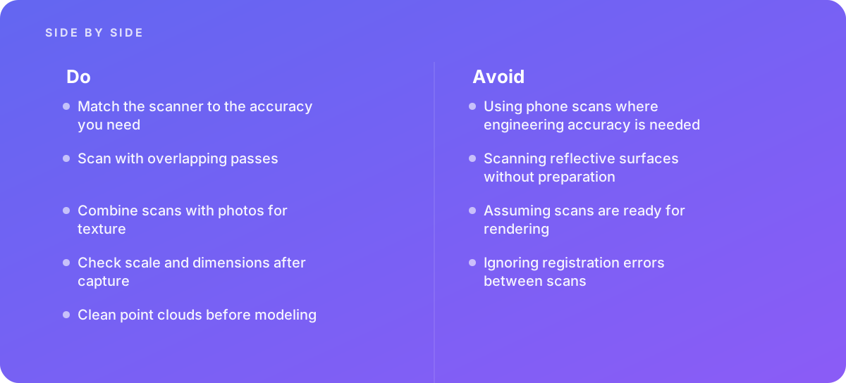
- Match the scanner to the accuracy you need
- Scan with overlapping passes
- Combine scans with photos for texture
- Check scale and dimensions after capture
- Clean point clouds before modeling
What should I avoid?
Avoid:
- Using phone scans where engineering accuracy is needed
- Scanning reflective surfaces without preparation
- Assuming scans are ready for rendering
- Ignoring registration errors between scans
When should I get help?
Short answer Bring in help when capturing buildings or products for accurate models.
Where this comes from
- Apple Developer — ARKit scene reconstruction
- Autodesk — ReCap documentation
The figures and practices above come from the sources listed.
Working on something like this?
We take on 3D Design & Development work for teams who want it done once, properly. Tell us what you are building and we will tell you honestly whether we are the right studio for it. Start a project.
Where to go next
Spotted something wrong? Report an error on this page. We correct on the page and say what changed.